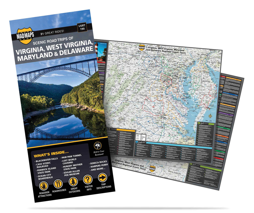
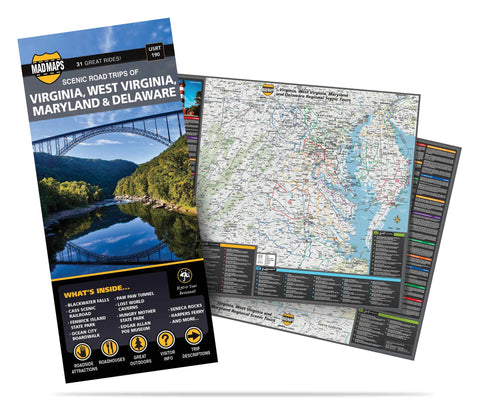


Virginia, E. West Virginia, Maryland and Delaware
USRT190
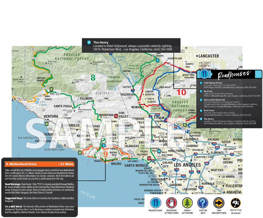
Road trips map: one terrific Mid-Atlantic map. Featuring 31 road trips on maps of Virginia, eastern West Virginia, Maryland and Delaware-all as discovered by our local MAD scouts. This map is perfect for day trips, or weekend getaways.
Looking for things to do in the Mid-Atlantic? Our road trip planner has done the work for you, from detailed turn-by-turn directions to the best attractions to see. Maps feature quirky stories of the region, plus roadside attractions, roadhouses and great outdoors. For example, check out such unique Mid-Atlantic attractions as: Chincoteague Island, Assateague State Park, Great Falls State Park, Lake Kerr, Seneca Rocks, Rocky Gap Park, Blackwater Falls, Point Lookout State Park, Fenwick State Park, Occoneechee State Park and Janes Island. And that's just the beginning.
It's time to discover the history and beauty of the Mid-Atlantic region, from the Atlantic Ocean to the Allegheny Mountains. Hit the road today.
Coverage Area:
| NORTH | SOUTH | EAST | WEST |
| PA state line | VA state line | Atlantic Ocean | Sutton, WV |
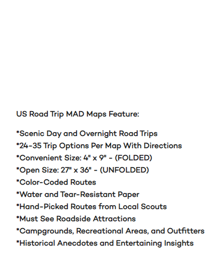
US Road Trip MAD Maps Feature:
- Scenic Day and Overnight Road Trips
- 24-35 Trip Options Per Map with Directions
- Convenient Size: 4” x 9” – (FOLDED)
- Open Size: 27" x 36" - (UNFOLDED)
- Color-Coded Routes
- Water & Tear-Resistant Paper
- Hand-Picked Routes from Local Scouts
- Must See Roadside Attractions
- Campgrounds, Recreational Areas, and Outfitters
- Historical Anecdotes and Entertaining Insights
Recommended Map Pack: